|
This is a very brief description of the some of the boundaries that
affect Chilton County, AL genealogists. Before 1828 everything East of the
Cossa River to the Ga. line was Indian lands but by 1831 St. Clair, Shelby
and Montgomery Counties extended to the Georgia line. By 1832 Alabama
started
to show some of the shape it has today with counties across the state that
have changed many times.
The GenealogyInc.com
website has a fantastic county formation web page that can be interactively stepped through the years.
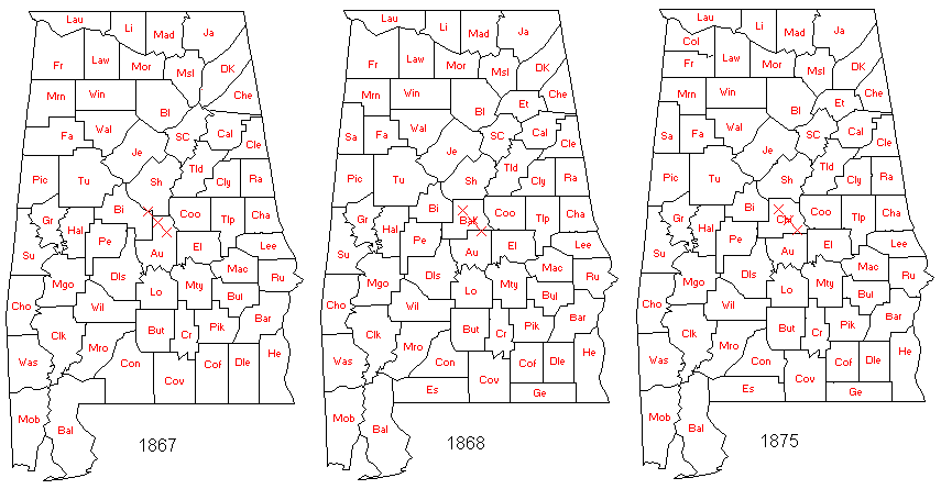
Maps are from David Dennis' copy of AniMap Plus, County Boundary Historical Atlas
with permission.
He included X's at (north to south) Jemison, Clanton
and Verbena as reference points.
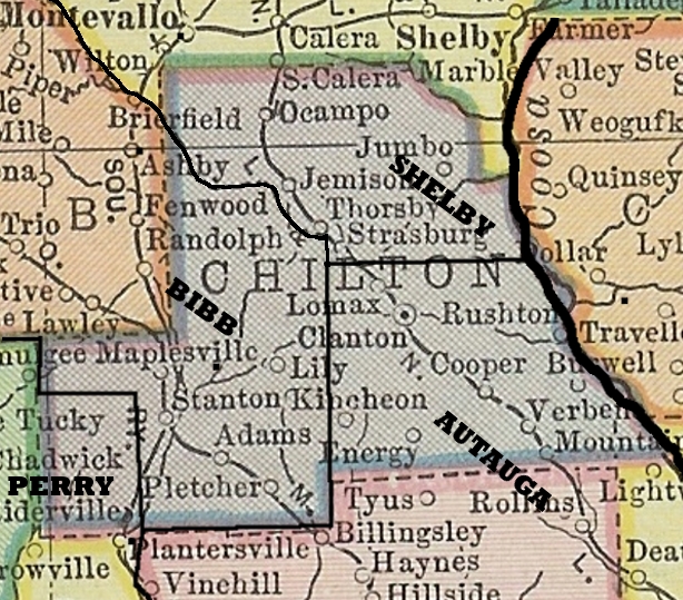
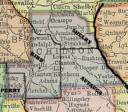 1910 Chilton County showing old county (pre-chilton) lines.
ALDOT
county highway maps.
Alabama Maps, a U of Alabama site with lots of old maps of the county.
A 1891 Topo map of most
of Chilton, a 4 mega byte map.
National newspaper directory and gazetteer, By Pettingill, firm, newspaper advertising agents, 1899
Alabama begins on page 15 with a statewide
road map. You can clip a copy but to get a clear copy you'll have to download the whole book.
|
 1910 Chilton County