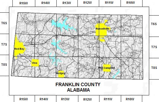
Land Patent Mapping
The purpose of this page is to map the original Land Patent Owners of Franklin County Alabama. The Owners of the Patents (Patentees) will be mapped to their section of land based on the Public Land Survey System.
If you need an explanation of 'How the Public Land Survey System (PLSS) works' go to the Land Record page.
This Mapping will enable you to see your relatives' land and their immediate neighbors. Very often your relatives neighbors are either other family members or they soon become related by inter marriage of their children. This is especially useful in finding the roots of elusive female relatives. Follow these steps to find your Relatives' Land and Their Neighbors.
Click the appropriate Township and Range below to open a map grid showing Patentees by Section.
The following table opens a Map of Patentees by Section. |